Complete Residential and Commercial Land Surveying Services
Members of our team have been providing comprehensive Land Surveying services in the Low Country since 1980. We provide our clients with expertise in all phases of Land Surveying, including subdivision planning and design, topographic surveys, boundary line adjustments, and immediate family transfer property splits. Our project experience includes work for Military facilities, State and County road projects, major industrial facilities, multiple phase subdivisions, and much more.
Atlantic Surveying specializes in all phases of construction surveying providing pre-construction surveys and construction staking services for residential buildings, commercial projects, private and city streets and highway and utility projects. From electronic surveying and data collection in the field to computer aided drafting (CAD) in our office, we strive to achieve consistency and quality in a timely manner. By utilizing advanced survey equipment, combined with the skills, qualifications, and surveying expertise of each member of our team, Atlantic Surveying consistently provides the highest quality services to our clients.
Working together since 1999 with over 38 years of combined experience in all types of surveys, our dedicated staff includes 2 Professional Land Surveyors licensed by the State of South Carolina supported by highly experienced office management and project co-ordination personnel who provide seamless "Field-to-Office" management of all the surveying services you need.
Building a new home?
We provide "Start to Finish" services to assist you.
Call us for a quote on a "Complete Builders Package"
Charleston County is finally adopting the new maps on January 29, 2021. One thing that many may not know is Charleston County is also adopting an updated vertical datum. What does this mean? The current maps reference the National Geodetic Vertical Datum of 1929 (NGVD29) and the new maps reference the National American Vertical Datum of 1988 (NAVD88) which is approximately one foot higher. So, in an area not changed by the new Maps the Base Flood Elevation (BFE) will lower approximately one foot. Which means an AE (EL 12’) flood zone will be depicted as and AE (EL 11’) flood zone on the new maps. From what we can see, most zones ARE improving, but with the datum change ALL customers will have to have a new elevation certificate based on the new datum to take advantage of the new rates. Atlantic Surveying, Inc. has been preparing for the onslaught of orders by increasing our work force to keep up with demand while not increasing our prices.
Related links you may find helpful.
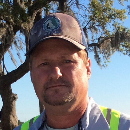
As the owner and operator of Atlantic Surveying, Inc. since 2006, Mr. Davis has supervised and completed over 2000 projects during the first year of business. These projects included a 500-acre boundary survey, a 40-acre marsh and tidal creek survey, pile layout and stakeout, subdivision platting, a 37-acre topographic Westvaco Corporation, FEMA LOMA and Flood Certifications, closing/mortgage surveys, topographic and boundary surveys, hydrographic surveys, and construction layout to name a few. Licensed in South Carolina, Georgia and Florida, Mr. Davis’ project experience includes design for the Navy Nuclear Training Facility located at the Charleston Naval Weapons Station, the Fairfax Subdivision, the Festival Centre Shopping Center, analyzing the water system engineering for Charleston Air Force Base, and the design of Lincoln Boulevard and Bachelor Enlisted Quarters at Kings Bay Naval Base.
Mr. Davis also designed, implemented, and managed the development of a horizontal and vertical control network for the United States Naval Base, Charleston, South Carolina; incorporating the use of the NAVSTAR global positioning system (GPS) to establish first-order, horizontal-control coordinates. Elevations of third-order precision were computed utilizing three-wire leveling techniques and a customized software program for the HP48 developed by Mr. Davis. His engineering design experience includes roadway and drainage systems, potable water facilities, and sanitary sewer facilities.
A Citadel graduate with a Bachelor of Science degree in Civil Engineering, Mr. Davis is an active member of SCSPLS, American Association for Geodic Surveying, and the National Society of Professional Surveyors, Florida Surveying and Mapping Society, and Surveying and Mapping Society of Georgia.
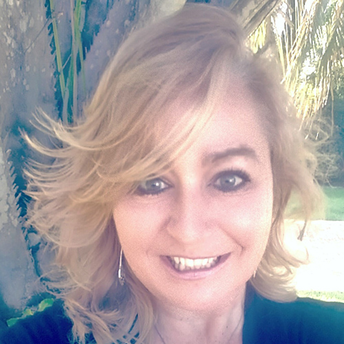
A graduate from the University of Maryland (MC) with a Bachelor of Science degree in Education, and certified in AutoCAD Basic Drawing Techniques from Trident Technical College, Ms. deTournillon possesses several certifications from FEMA and the Nation Flood Insurance Program, and is currently studying for her Project Management Professional exam.
Leveraging 27 years experience in management and marketing, with professional expertise in business development, planning and executing business strategies, Ms. deTournillon is also a master in developing new market channels and building strong relationships with construction managers, customers and industry leaders.
Sonya is a member of Charleston Home Builders Association Sales and Marketing, South Carolina Chapter of the U.S. Green Building Council, Promotion and Marketing Association and AAGS.
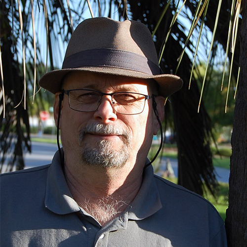
A Registered Land Surveyor for the State of South Carolina, Mr. Nelson has over 40 years of extensive experience in roadway, drainage, piling layout, railway, utility, and marine piling layout. With advanced training and certifications in AutoCAD 9-14, Trimble Post Processed Surveying, Trimble Real Time Surveying, SMI Software, Dendrology, Solar Observation, National Flood Insurance Program, ATLA/NSPS Surveys, and HAZMAT.
Mr. Nelson impressive breadth and depth of knowledge stems from many large projects, including MASSI Coal Terminal, Joint Force Charleston Admin facility, Veterans Cemetery in Fort Jackson, Wash Rack facility in Fort Bragg, and all construction layout supervision for many Walgreens, Cracker Barrels and Tri-County-area, multi-unit apartment complexes.
Mr. Nelson is an active member of the SCSPLS, American Association for Geodic Surveying, and the National Society of Professional Surveyors.
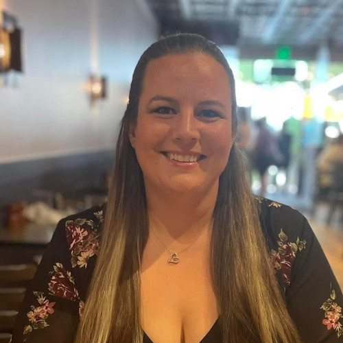
Lauren is a Charleston native, who received her associates degree in Hospitality and Tourism Management from Trident Technical College. She is currently working on her F.E.M.A. training and certifications. Lauren has 15 years of Customer Service experience and loves interacting with our clients and assists with on-line property research.
When she is not working she enjoys spending time with her children, as well as being an active member in the Jewish community.
Born in Lynbrook, New York, Bob is a graduate of James Island Charter High School with three years of Carlson/AutoCAD experience. Having worked on a variety of different projects including As-Builts, Record Drawings, Route Surveys, and Residential Surveys, along with his background in IT and software, Bob can tackle anything thrown his way.
In his free time, Bob enjoys gaming, playing pool, and spending time with his two cats.
COMING SOON!
Are you in need of a survey?
Call us at 843-763-6669 or fill out the form below
with any questions you may have and we'll contact you.
Atlantic Surveying, Inc.
1723 Savannah Highway
Charleston, SC 29407
Phone: 843-763-6669
Fax: 843-766-7411